Note: this page is only a draft, but this project is hosted on a public repository where anyone can contribute. Learn how to contribute in less than a minute.
360 Pictures and Videos
Panoramas or virtual tours in combination with Virtual Reality provides and inmersive way to explore GIS data.
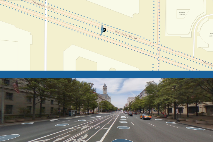
Table of contents
Introduction
There are several ways to integrate a 360 image, through:
- ArcGIS API JavaScript API widgets
- Web AppBuilder widgets
- ArcGIS Desktop Add-in (ArcGIS Pro or ArcMap)
- ...
Additional resources
Probably not all the resources are in this list, please use the ArcGIS Search tool looking for: 360 Pictures and Videos.
Related products or technologies
- ArcGIS API for JS
- List of all Esri products in the "Esri Products - ArcGIS Platform" group
Related technologies
- AR Plan 3D Ruler – Camera to Plan, Floorplanner
- Cupix.com: Capture a space in 3D
without a 3D scanner create 3D tours and much more
- More about: 3D indoor floor plans reconstruction from spherical panoramas: Agisoft, AliceVision, LayoutNet, etc.
Other related list of resources
- Tourism
- Indoor
- Virtual reality
- Mapillary | Competitors
- Tour Creator & Expeditions
- Klapty
- Google Street View & Google Photos
Gigapixel image | List of largest photographs
- 360º Gigapixel or Panoramas&oq=%22gigapixel%22+AND+(%22360%22+OR+%22Panorama%22)&aqs=chrome..69i57j0.17496j0j4&sourceid=chrome&ie=UTF-8) | Example: Aerial Shanghai 360º gigapixel
Partners and startups
Organizations and the type of relation with this product:
| Company | Relation type | Country |
|---|---|---|
| CycloMedia | Partner | USA |
| Geograma (Orbit GT) | Partner | Spain |
| Mapillary | Partner | USA |
| Hangar | Startup | USA |
| FishViews | Startup | USA |
Contributions
Feel free to improve/extend this resource page using this template (Contribution Guide).