Note: this page is only a draft, but this project is hosted on a public repository where anyone can contribute. Learn how to contribute in less than a minute.
LAS format
The LAS file format is a public file format for the interchange of 3-dimensional point cloud data between users.
Table of contents
Quick overview
- Purpose: Interchange of 3-dimensional point cloud data between users
- Data type: vector
- Type of format: Lidar
- Multi-file format: it can reference to one or more LAS files on disk
- File type: binary
- File extension(s): .las
- Originally developed by: American Society for Photogrammetry and Remote Sensing (ASPRS) (2003)
- Technical description/specification/schema: LAS SPECIFICATION VERSION 1.4 – R13
- License: Unknown
- Regulated by: ASPRS
- Status: industry-standard
- Sample file(s): United Stated Naval Academy Sample Data
- Consumable by:
Introduction
It is used to store data from sensors and as intermediate processing storage by some applications.
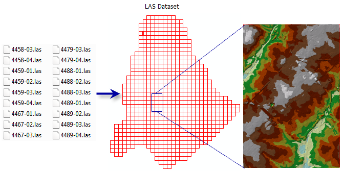
A LAS dataset stores reference to one or more LAS files on disk, as well as to additional surface features. A LAS file is an binary format for storing airborne lidar data.
Additional documentation
Learn more:
- What is a LAS dataset (by Esri)
- LASER (LAS) file format (by The imaging & Geospatial Information Society, asprs.org)
Tools
Additional resources
Probably not all the resources are in this list, please use the ArcGIS Search tool looking for: "LAS".