Note: this page is only a draft, but this project is hosted on a public repository where anyone can contribute. Learn how to contribute in less than a minute.
ArcGIS Excalibur
Cloud-based imagery application. View drone, aircraft, or satellite imagery as collected along with authoritative geospatial contextual and operational layers. Assign and manage imagery exploitation tasks across the organization. Compile, publish, share, and disseminate dynamic information products to consumers and devices in multiple formats..
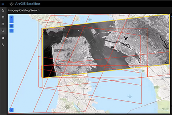
Table of contents
Introduction
This premium web application is available starting from ArcGIS Enterprise 10.7
Learn more at: esri.com/en-us/arcgis/products/arcgis-excalibur
Training
Documentation
ArcGIS Excalibur Official Documentation
News
ArcGIS Excalibur is Coming Soon!
Additional resources
Probably not all the resources are in this list, please use the ArcGIS Search tool looking for: "ArcGIS Excalibur".
Related products or technologies
List of all Esri products in the "Esri Products - ArcGIS Platform" group
Contributions
Feel free to improve/extend this resource page using this template (Contribution Guide).