Note: this page is only a draft, but this project is hosted on a public repository where anyone can contribute. Learn how to contribute in less than a minute.
ArcGIS for AutoCAD
Free Plug-In for AutoCAD connects you to ArcGIS allowing you to enrich your CAD drawings with maps, background imagery, and geographic features. Edit locally created or imported GIS data within AutoCAD. You get:
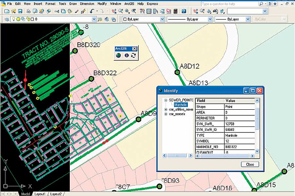
Table of contents
Introduction
ArcGIS for AutoCAD official product page.
Training
Documentation
Tutorials
Videos
Video Playlists:
- ArcGIS for AutoCAD What's New
- ArcGIS for AutoCAD Bonus Tools
- ArcGIS for AutoCAD 300
- ArcGIS for AutoCAD Training Series 350
- ArcGIS for AutoCAD 350
- Whats New In ArcGIS for AutoCAD 350
On video.esri.com and Esri Events you could probably find some more technical talks.
You might also find interesting videos at Esri Industries, ArcGIS, EsriTV, Esri R&D Center etc
Slides
More slides in proceedings.esri.com or check on GeoNet.
Get the tool
Download for free from the ArcGIS for AutoCAD official product page
Support and Community
If needed, remember you can always check the Technical Support Blog at GeoNet to find additional resources.
Community channels:
- ArcGIS for AutoCAD @ GeoNet (Content -> Questions -> Answered questions)
- CAD/GIS Data Integration (Content -> Questions -> Answered questions)
- "ArcGIS for AutoCAD" in StackExchange
Vote/share the ideas about AutoCAD @ ArcGIS Ideas on GeoNet
People you should know
Please find the ArcGIS Experts on this topic using this tool:

They don't work on the support team and some may even not work at Esri, but they are opening some projects and sharing insights related to this technology so we recommend you to follow them.
News
- "ArcGIS for AutoCAD" at esri.com search engine
- Blog Posts about "ArcGIS for AutoCAD" inside Places at GeoNet
Additional resources
Probably not all the resources are in this list, please use the ArcGIS Search tool looking for: "ArcGIS for AutoCAD".
Related products or technologies
- ArcGIS Pro
- ArcMap
- List of all Esri products in the "Esri Products - ArcGIS Platform" group
ArcGIS Online content
You might also find interesting content from some Esri users or groups in ArcGIS Online.
Search AutoCAD related items in ArcGIS Online
Contributions
Feel free to improve/extend this resource page using this template (Contribution Guide).