Note: this page is only a draft, but this project is hosted on a public repository where anyone can contribute. Learn how to contribute in less than a minute.
ArcGIS Earth
Explore any part of the world with ArcGIS Earth. Work with a variety of 3D and 2D map data formats … including KML.
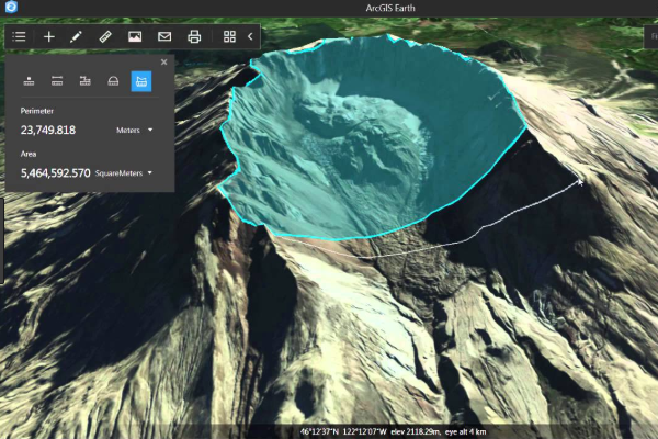
Table of contents
Introduction
Display data, sketch placemarks, measure distances and areas, and add annotations. ArcGIS Earth has everything you need to easily understand spatial information so you get the full picture.
It is available as a:
Additional resources
Probably not all the resources are in this list, please use the ArcGIS Search tool looking for: "ArcGIS Earth".
Related products or technologies
List of all Esri products in the "Esri Products - ArcGIS Platform" group
Contributions
Feel free to improve/extend this resource page using this template (Contribution Guide).